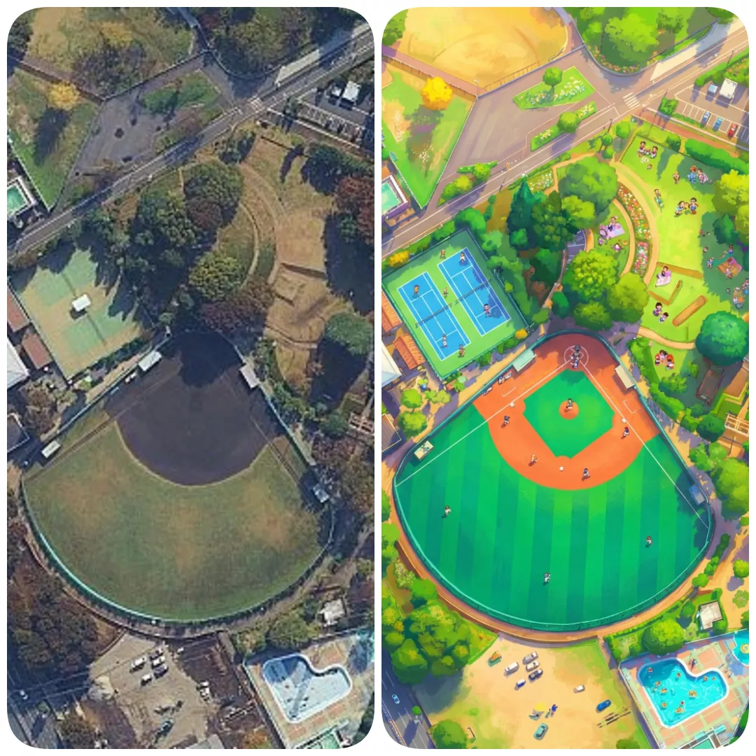
Transform this aerial map view into an illustrated aerial photograph captured from above. Create a vibrant, animated aesthetic with brilliant hues, and sprinkle miniature figures throughout the scene for a whimsical, illustrated, magazine-quality result.